Page History
...
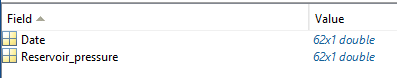
GDF_LACQ_reservoir_pressure
ROCK TEMPERATURE
Data details
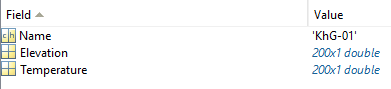
‘d’ structure contains fields:
- Name– vector of char type specifying name of the well where the measurement took place
- Elevation– array of real numbers containing vectors of elevation values
- Temperature– array of real numbers containing vectors of rock temperature values
Optional:
- Depth– array of real numbers containing vectors of depth values
Field details
FieldDescription
- Name – Code name of the well where the measurement took place
- Elevation– Elevation in metres above sea level of the rock temperature measurement
- Temperature– Rock temperature
Optional:
- Depth – Depth of the rock temperature measurement
FieldType
- Name– 3
- Elevation– 4
- Temperature– 22
Optional:
- Depth – 4
FieldUnit
- Name– char
- Elevation– m
- Temperature– Celsius deg
Optional:
- Depth– m
Files associated with format:
- GDF_CARBFIX_Rock_Temperature.mat
SEISMIC STATIONS
If the inventory.xml file is not available for specific seismic network, then GDF file can be used to plot the locations of the seismic stations and create the table with information and parameters of seismic networks.
...
Overview
Content Tools